

What is DTCP ? How many kilometers its area?
DTCP stands for Director of Town and Country Planning. It is a government department responsible for planning, regulating, and developing urban and rural areas in various states of India.
The DTCP department is involved in:
1. Master planning: Creating long-term plans for urban and rural development.
2. Building regulations: Enforcing building codes, zoning laws, and construction standards.
3. Land use management: Regulating land use, including approvals for residential, commercial, industrial, and other developments.
4. Urban planning: Designing and implementing urban infrastructure projects, such as roads, parks, and public spaces.
5. Enforcement: Monitoring and enforcing compliance with planning regulations and building codes
The DTCP (Director of Town and Country Planning) areas in Hyderabad are spread across a significant portion of the city.
According to the Hyderabad Metropolitan Development Authority (HMDA) and GHMC (Greater Hyderabad Municipal Corporation) data, the DTCP-approved areas cover approximately:
- 1,602.62 square kilometers (617.66 sq mi) within GHMC limits
- 1,949 square kilometers (753.55 sq mi) within HMDA limits, including parts of Rangareddy, Medak, and Nizamabad districts
To estimate the radius, we can use the formula: radius = √(area/π)
For GHMC limits (1,602.62 sq km):
radius ≈ 22.62 kilometers (14.05 miles)
For HMDA limits (1,949 sq km):
radius ≈ 24.85 kilometers (15.42 miles)
Please note that these calculations assume a circular shape, which is not the case in reality. The actual DTCP areas are irregularly shaped, covering various colonies, layouts, and communities.
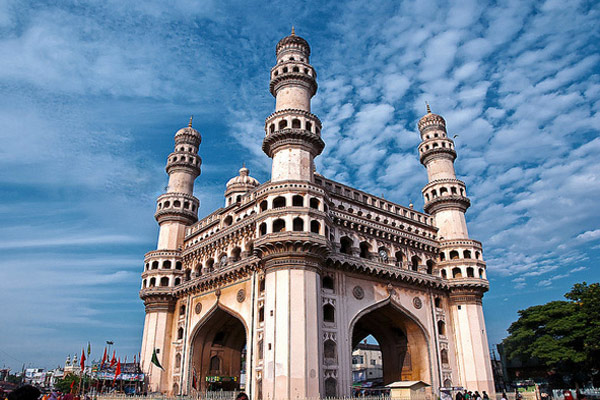
To give you a better idea, here are some approximate distances from the city center (Charminar) to popular DTCP areas:
- Jubilee Hills: 7-8 km
- Banjara Hills: 8-9 km
- Gachibowli: 12-13 km
- Hitec City: 14-15 km
- Kukatpally: 15-16 km